From integrated atmosphere–ocean–wave modelling to the enhancement of SEAWETRA: new tools for environmental monitoring and coastal management.
The Ligurian coast is an area where atmospheric and marine dynamics interact across different spatial scales. Its complex coastal morphology, the presence of marine protected areas and the intensity of human activities call for forecasts capable of representing processes that develop at the regional scale but produce different effects even along neighbouring stretches of coastline.
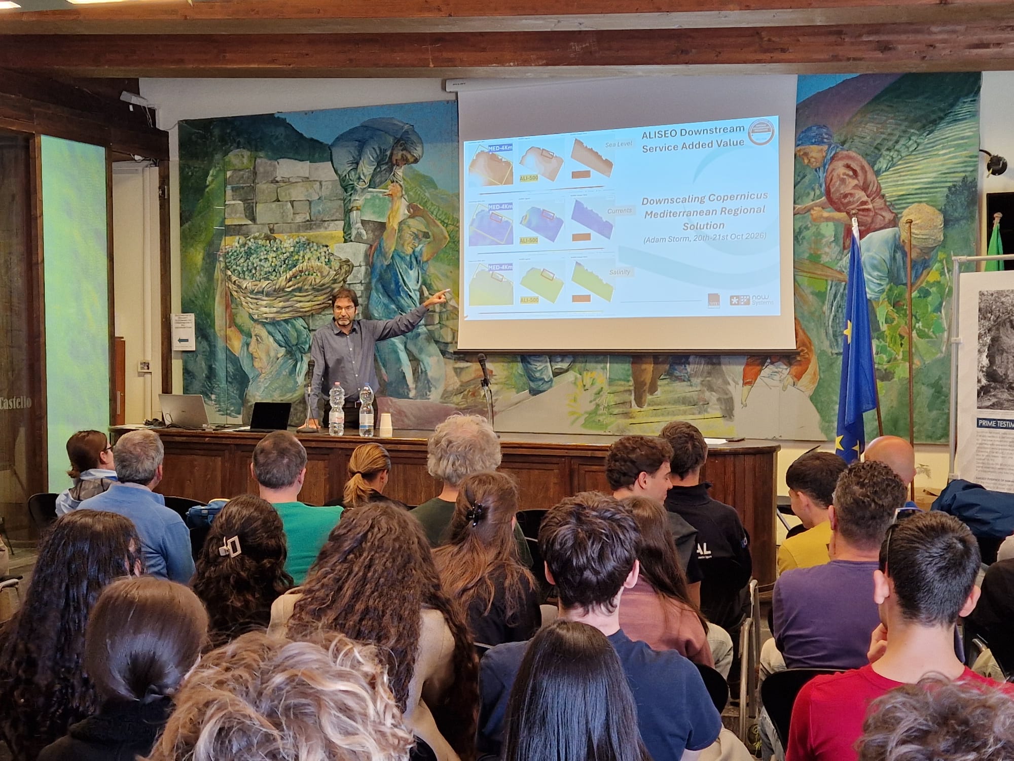
ALISEO (Air and coupled ocean-wave Ligurian Integrated forecast System for Environmental coastal prediction) addresses this challenge. Coordinated by CIMA Research Foundation in collaboration with NOW Systems, the project has developed an integrated high-resolution marine weather forecasting system for the Ligurian coast, from Genoa to La Spezia, with particular attention to the Marine Protected Area of the Cinque Terre National Park.
Alongside model development, the project has enhanced the SEAWETRA platform to integrate observational and forecast data from different sources and make them accessible.
From the regional scale to coastal detail: integrated modelling
Sea conditions result from interactions between atmospheric and oceanographic processes: wind transfers energy to the sea surface, generates waves and influences surface circulation, while atmosphere–ocean exchanges contribute to the evolution of the system. Near the coast, bathymetry and coastline configuration further modify local dynamics.
Although essential, Mediterranean-scale forecast products do not always represent these processes at the level of detail required in coastal areas.
ALISEO has developed an integrated atmosphere–ocean–wave forecasting system with a spatial resolution as fine as 70 metres, combining high-resolution atmospheric modelling with ocean circulation and wave modelling.
“Spatial resolution is a crucial factor in coastal modelling: processes that are difficult to distinguish in larger-scale models can be represented in greater detail using finer computational grids. With ALISEO, we integrate atmospheric forecasts with coupled wave and current models to better describe marine weather dynamics near the coast,” explains Martina Lagasio, a researcher in meteorology and climate at CIMA Research Foundation.

SEAWETRA: integrating observations and forecasts
Alongside model development, ALISEO has enhanced SEAWETRA, CIMA’s WebGIS platform dedicated to monitoring and conserving marine ecosystems. Built on open-source software and open data, the platform complies with Open Geospatial Consortium (OGC) standards and the European INSPIRE Directive.
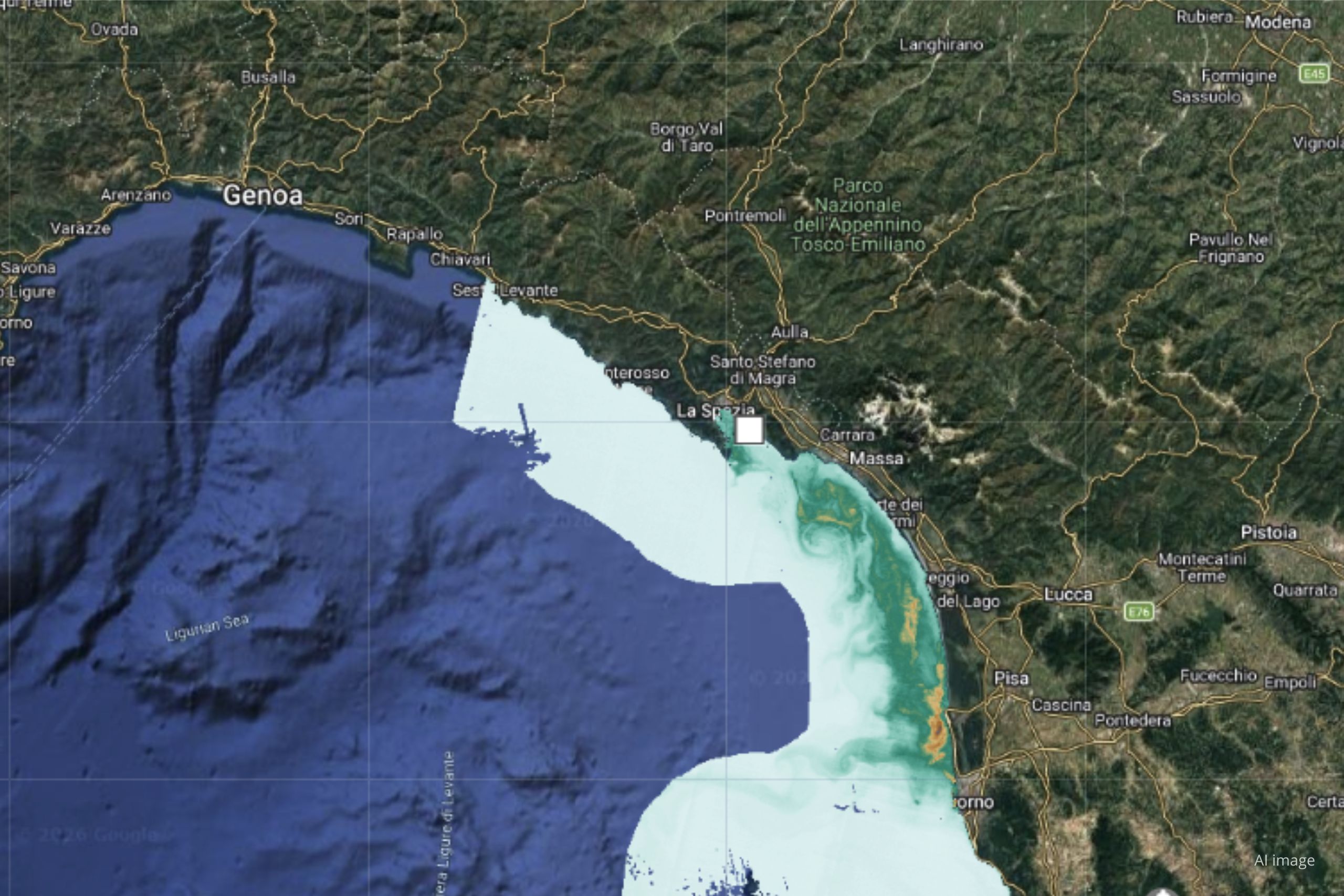
As part of the project, SEAWETRA has been expanded with new Copernicus Marine Service products, updated daily, and features specifically designed to analyse marine weather conditions in the Ligurian Sea.
The datasets include physical and biogeochemical variables such as sea surface temperature, currents, salinity, chlorophyll, sea level and wave parameters. Observational data and forecast products are available, with forecast lead times extending to ten days for some datasets.
A significant development is the integration of in situ observations from oceanographic buoys, tide gauges, temperature and salinity sensors, profilers and drifters—devices that move with ocean currents.
These measurements complement satellite observations, whose spatial resolution can be a limiting factor in coastal areas. Tide gauges, for example, enable the analysis of sea-level variations, while buoys provide information on wave height, period and direction.
Combining satellite observations, in situ measurements and model products provides a more comprehensive picture of marine conditions, bringing together sources with different spatial and temporal scales, uncertainties and levels of reliability.


From data visualisation to the analysis of marine processes
SEAWETRA allows users to select time intervals, overlay observational and forecast data, query variables at specific locations and examine their evolution through time series.
“Through SEAWETRA, we can analyse the evolution of sea surface temperature anomalies and compare them with other parameters, such as chlorophyll concentration, an indicator of phytoplankton biomass and primary productivity. Integrating this information with in situ observations and forecast products allows us to investigate environmental conditions from complementary perspectives. This is particularly important in coastal areas, where satellite data may be subject to spatial resolution limitations,” explains Paola Tepsich, marine ecosystems researcher at CIMA Research Foundation.
Forecast products also make it possible to analyse the expected evolution of wave conditions through parameters such as significant wave height and wave direction.
The platform also provides tools for comparing different maps and generating customised reports that can be exported as PDFs, facilitating the analysis and sharing of scientific information.
From research to coastal management
Integrating high-resolution modelling with environmental data creates new opportunities for monitoring marine protected areas and assessing marine weather conditions by coastal stakeholders:
- For authorities responsible for ecosystem conservation, access to physical and biogeochemical variables makes it possible to monitor changes in environmental conditions.
- For maritime operators, information on wind, currents and wave conditions can support the interpretation of forecast scenarios.
The development of these tools also involved local stakeholders through consultation activities aimed at identifying operational needs and priorities.
ALISEO thus brings together numerical modelling, environmental observations and interoperable digital tools, contributing to the development of high-resolution marine weather services. This approach could potentially be replicated in other Mediterranean coastal settings, where understanding atmosphere–ocean interactions is increasingly important for addressing environmental and climate challenges.