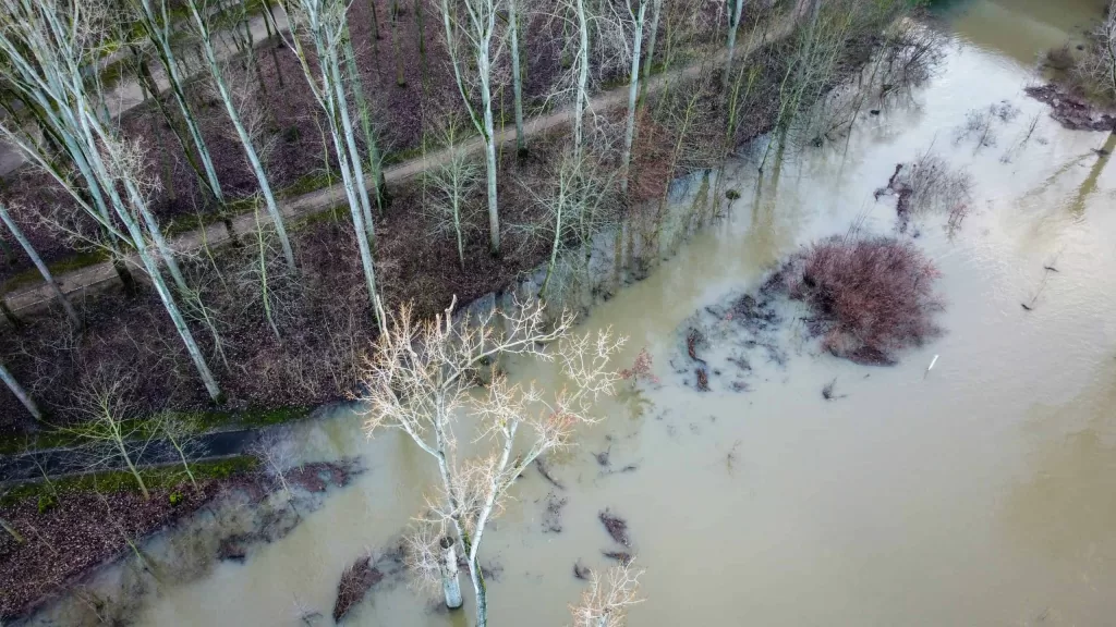
A recently published article describes the new flood hazard maps for Europe, which are used for risk assessment and for predicting the impacts of climate change
In order to establish effective flood risk management strategies, one element that has become indispensable are the hazard maps: that is, maps that show what would happen for a given flood, in a given area, considering variables such as the extent of the flood and the depth that the water could reach. Particularly relevant have become, especially in recent years, the large-scale maps, at the continental or even global scale.
For Europe, a new dataset of maps has just been described in a paper, published on Earth System Science Data, whose authors include Lorenzo Alfieri, researcher of the Hydrology and Hydraulics Department of CIMA Research Foundation. We asked him to tell us some of the essential elements of this research and the most relevant novelties of the new flood hazard maps.
Hundreds of thousands of simulations
These maps – already in their previous version – are the main reference in Europe for simulation studies of flood impacts, both in the current climate and in consideration of the possible effects of climate change, allowing the comparison between different regions, nations and basins. They represent, in this sense, an important tool not only for risk management strategies but also for studies and development of adaptation strategies. “River basins often do not follow national boundaries, and individual nations have no interest in mapping neighboring ones; at the national level, data on incoming rivers are sufficient for hazard maps,” Alfieri explains. “For this reason, a Europe-wide study is needed to analyze the data in a consistent way.”
“Creating these datasets requires being able to automate the model simulation procedure. The first thing to consider, in fact, is that in this type of work floods with different frequencies are simulated: in other words, for each river reach we simulate what would happen in the case of a flood that occur with a frequency of once every ten years, twenty years, or every century,” the researcher continues. “When you consider that we analyzed 329,000 kilometers of European rivers (80% more than those analyzed in previous maps), and 6 different flood frequencies, you immediately understand that the process (which simulates the flood in each portion of the river basin) must take place in an automated way.”
For their work, therefore, the researchers had to optimize the process that leads to the realization of the maps – an activity that, explains Alfieri, also required to be able to make two different models “talk” to each other: the hydrological model, which estimates river flows, and the hydraulic model, which estimates the extent of the flood.
Larger maps, larger validation areas
One of the most relevant aspects of this last paper is the fact that it describes maps in which the simulation domain has increased: “In short, we managed to improve the procedure so that it takes into account a wider area”, explains the researcher.
Compared to the maps already available, in fact, the new ones do not include only the Member States of the European Union but have been expanded to include more European regions: they add, therefore, the rivers entering the Mediterranean Sea and the Black Sea, Turkey, Syria and the Caucasus regions, all areas in which the EU partner countries fall. Compared to the previous maps, the area considered has increased, in total, by 76%.
The second remarkable aspect of these new maps is that the researchers have also increased the validation areas, which now include the whole of Spain, Great Britain, Hungary, the Po River Basin and Norway.
“Maps of this kind provide valuable information on the impact that a flood could have, help to make a risk assessment taking into account the different elements that influence it and, in addition, represent an important means of communication, because they allow an assessment “at a glance” of the flood,” concludes the researcher. “These maps are also used by the Copernicus European Flood Awareness System (EFAS), which provides an overview of current and predicted floods and their impacts in the EU, and are also used for operational purposes; that’s why it’s so important for us to have available – and to continue working on developing – increasingly precise and accurate maps.”