In an article published in the journal Geosciences, our researchers describe a machine-learning approach to create forest fire susceptibility maps
To try to avoid mistakes in the future, one must learn from the past. In the case of forest firefighting, the past is represented by the areas that have been subject to it: where are they? What kind of vegetation do they have? How large are they? Are there any houses or activities nearby? These and other characteristics provide information on the geographical and environmental characteristics of the area and, taken together, can influence its susceptibility to fire. The construction of a map with these data can be a valuable aid for prevention and protection measures. But how can we collect and link these data with each other in order to have the most complete perspective? Artificial intelligence techniques based on machine learning are increasingly proving to be a valuable aid in this field and, in a paper recently published in the Geosciences journal, our researchers used them to create a map of susceptibility to forest fires in Liguria. The most recent advances in the study were presented at the EGU General Assembly 2020.
Learning algorithms
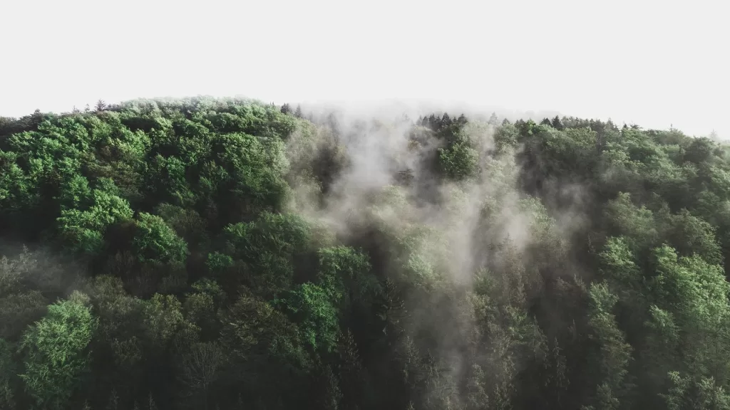
Liguria is an anomalous region in the Italian panorama with regards to wildfires. Unlike the rest of the country, where fires are more frequent in the summer period, Ligurian fires occur throughout the year, although the areas affected are different depending on the period. This is probably due to the state of the vegetation, which is very heterogeneous and covers more than 70% of the region.
Researchers from CIMA Research Foundation’s Wildfire Risk Management and Forest Conservation Department wanted to create a susceptibility map, i.e. a map describing the probability of a given area to be subject to forest fires, based on a vast set of information concerning the territory, such as the geographical and environmental conditions that favored fire triggering in the past, the presence of protected areas or proximity to human settlements or the type of vegetation present. Therefore, they used these data to create the map with a machine learning approach.
This is a particular type of artificial intelligence that allows the operating system to learn, in a progressive way, to “read” the data fed to it and to make predictions based on them. “In our case, the machine learning algorithm adopted had to shed light on the connection between the independent variables, represented for example by the characteristics of vegetation and human presence of each analyzed point, and the dependent variables, i.e. the actual occurrence of a fire in the past”, explains Paolo Fiorucci, head of Wildfire Risk Management and Forest Conservation Department. “In mathematical terms, it is simply a function that you can use on every point in the Region of which you know the type of vegetation cover and anthropic elements, generating a map of susceptibility”. The map presents values between zero, corresponding to minimum levels of susceptibility, and one, corresponding to very vulnerable points in terms of fire danger.
“We have provided the algorithm with data on burned areas over a period of fifteen years, from 1997 to 2011, and we have validated it, checking whether the fires that occurred in the following years occurred in the most susceptible areas. The results of this validation showed that about 90% of the burnt area falls in 25% of the territory with the highest susceptibility values”, says Fiorucci.
An aid for fighting forest fires
In a region as rich in vegetation as Liguria, it is impossible to have the necessary resources for forest management, which is often not economically sustainable due to the difficulties of forest clearance throughout the entire territory. The most important result of this analysis was therefore to identify with great precision the areas where priority action is needed to reduce vulnerability to forest fires. It is thus possible to focus attention on a smaller percentage of the territory, where it is necessary to intervene with different synergistic approaches in sustainable management and prevention activities in order to limit active fighting activities as much as possible.
“In general, however, the system based on machine learning has proven to be extremely effective and flexible”, concludes the researcher. “And the susceptibility maps that this technology allows to create could help us in fighting forest fires both in terms of prevention and management, allowing us to identify areas on which to focus our civil protection planning efforts and risk reduction programs”.
Recently, new advances in this work were presented at the EGU General Assembly 2020, where the characteristics of the territory that determine the greatest susceptibility to fires were analyzed in great detail. Researchers from CIMA Research Foundation also presented other research projects at the assemble, discussed here.