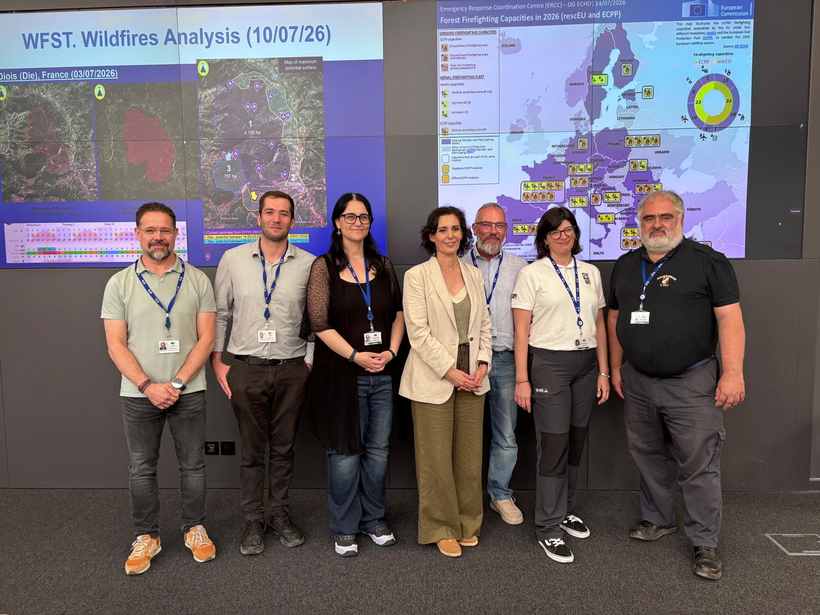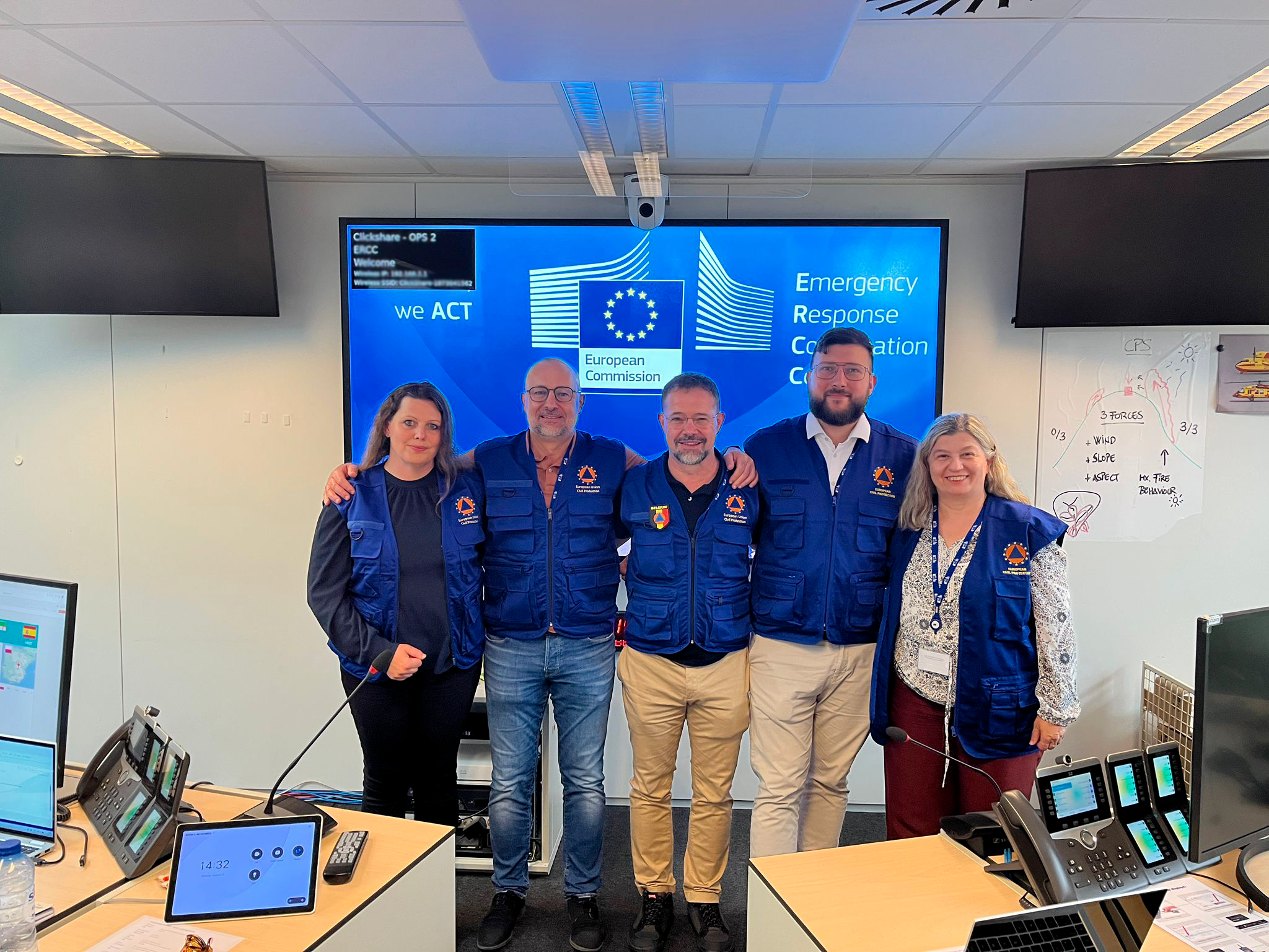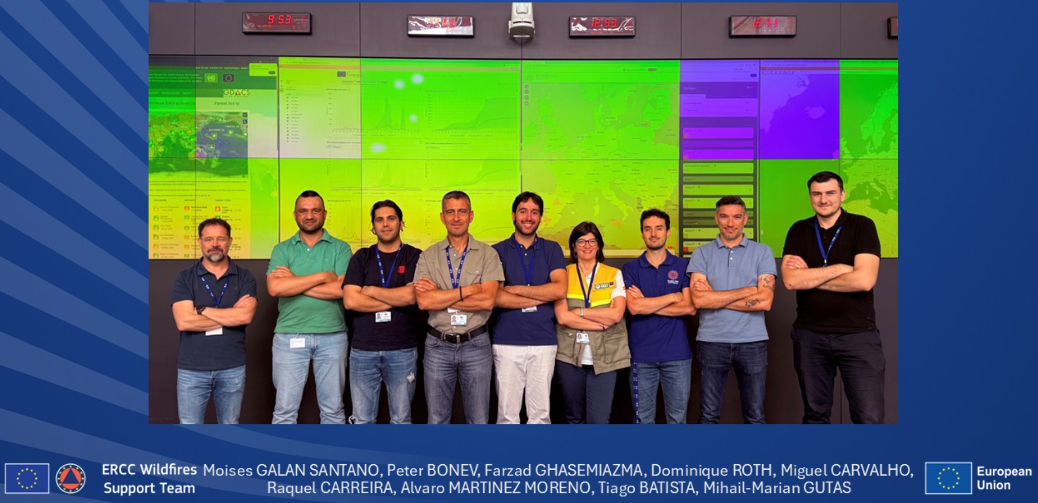
Weather and wildfire danger forecasts, satellite data, modelling and field information: in wildfire management, rapidly integrating these elements into a coherent assessment of the scenarios that may develop following ignition is an essential part of response capacity. This interface between science and operations was at the heart of CIMA Research Foundation’s work during the 2026 wildfire season within the Wildfire Support Team at the European Commission’s Emergency Response Coordination Centre (ERCC).
When an emergency requires the activation of the Union Civil Protection Mechanism (UCPM), the ERCC coordinates the mobilisation of resources made available by participating states at European level. During the wildfire season, the Wildfire Support Team (WFST) brings together operational expertise from national civil protection and firefighting systems and scientific expertise provided, among others, by the ARISTOTLE-ENHSP partnership. Scientific analysis is therefore carried out within the same operational framework used to monitor ongoing incidents and available resources, enabling scientific information to feed directly into operational activities.
Once again this summer, CIMA Research Foundation researchers Paolo Fiorucci, Farzad Ghasemiazma, Andrea Trucchia and Nicolò Perello took turns serving on the team in Brussels, working on two complementary areas: forecasting wildfire danger conditions across Europe to anticipate potential disasters, and analysing the evolution of major ongoing wildfires.
The season also highlighted the scale of the challenge. The major wildfires that affected France and Spain in particular, with severe consequences including loss of life, demonstrated that the availability of scientific information does not automatically translate into the ability to anticipate impacts. The crucial step is to integrate this information into operational and decision-making processes early enough to guide action before conditions become most critical.
“Today, we can identify potentially critical conditions and develop scenarios of how a wildfire may evolve. But the value of this information also depends on when it becomes available to decision-makers. The challenge is to progressively strengthen the link between scientific knowledge and operational systems, so that the ability to anticipate fire behaviour, while accounting for the associated uncertainties, can increasingly support operational decisions aimed at preventing disasters,” explains Paolo Fiorucci, Associate Director of CIMA Research Foundation and wildfire expert.
Anticipating where the most critical conditions may develop
One component of this work focuses on forecasting wildfire danger at the European scale. In the role of Scientific Expert On-Demand for Wildfires (SEOD-WF), meteorological information, fuel conditions, fire danger indicators and active wildfire data are integrated to identify areas where conditions may become more critical over the following days.
This analysis contributes to the ERCC’s situational awareness, informing daily briefings and periodic products prepared for the Directorate-General for European Civil Protection and Humanitarian Aid Operations (DG ECHO). It complements existing European-scale information products with expert scientific interpretation, bringing together different signals and assessing their operational relevance.
“During my deployment, we monitored UCPM activations related to major wildfires in France and Spain, while also following developments in Greece and Portugal. Our work involved tracking wildfire evolution, analysing meteorological conditions and fire danger, and integrating available satellite and mapping information to help assess possible developments and contribute to the ERCC’s common operational picture,” explains Farzad Ghasemiazma.
Understanding fire behaviour as an incident evolves
Once a wildfire is active, the focus shifts from assessing conditions conducive to fire spread to understanding the dynamics of the ongoing incident: how the fire front is evolving, which factors are influencing its behaviour, and what developments are plausible over the following hours.
This is the remit of the Fire Behaviour Analyst, a role piloted within the Wildfire Support Team in 2026. The analysis integrates satellite data, meteorological conditions, topography, land use, fuels and exposed assets with operational information – including deployed resources, containment lines, evacuations, damage and infrastructure disruptions – gathered from official sources and open-source intelligence. The objective is to synthesise heterogeneous information into a concise assessment of fire behaviour and potential impacts, supporting the ERCC and, when requested, national authorities.
An important contribution comes from EUMETSAT’s Meteosat Third Generation (MTG) products. Fire Radiative Power (FRP) observations enable high-frequency monitoring of wildfire activity, helping identify the most active sections of the fire front, changes in intensity and potential reactivations. These observations are complemented by PROPAGATOR, which can rapidly generate potential fire spread scenarios by combining fuel characteristics, topography and weather forecasts. The aim is not to predict the future position of the fire front with absolute accuracy, but to identify preferential spread directions, potentially exposed areas and scenarios that can inform a strategic assessment of the incident.
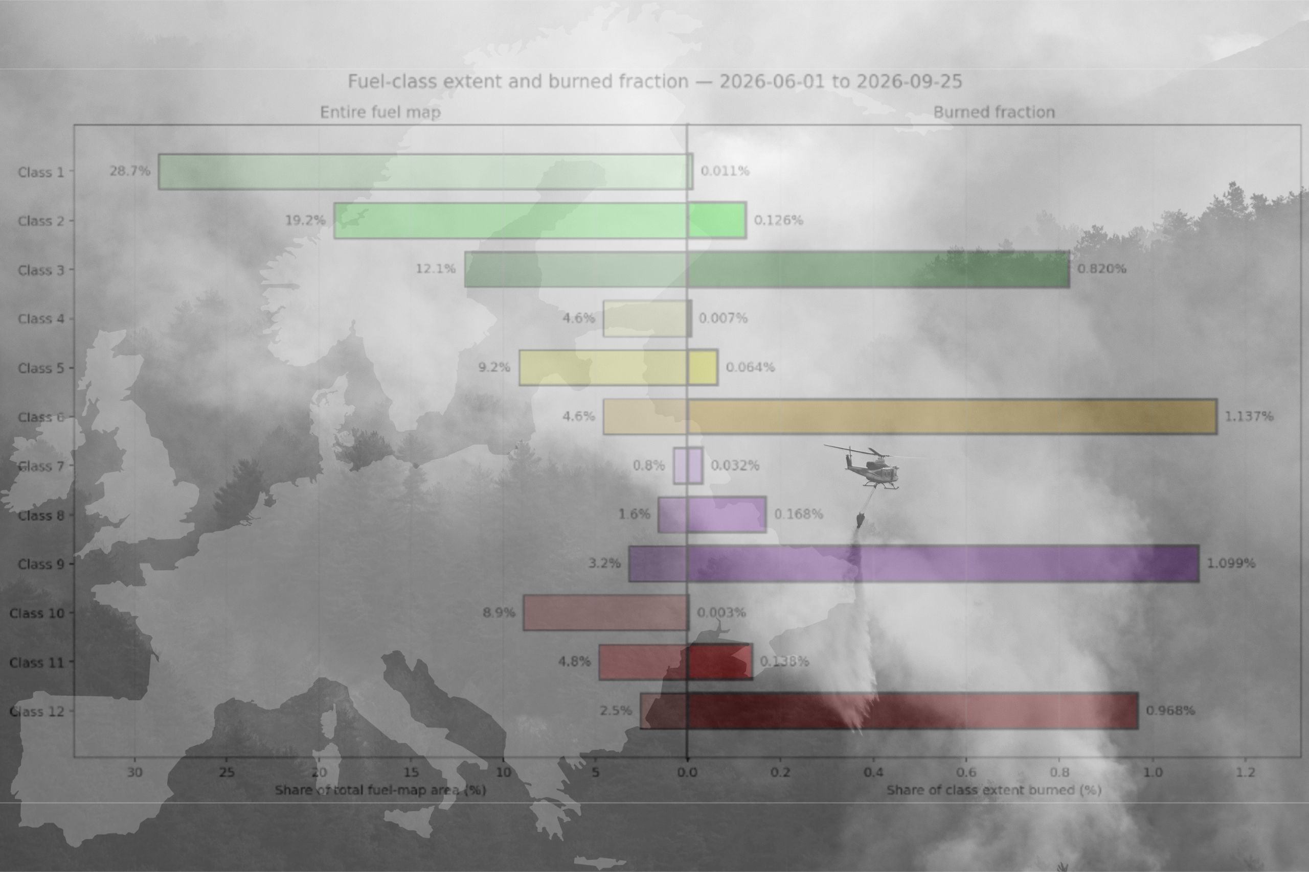
Fuel distribution is another key element. The European-scale vegetation fuel map developed by CIMA Research Foundation makes it possible to relate different fuel classes to areas affected by fire. Analyses from the 2026 season (Fig. 1) show that burned area is not uniformly distributed across fuel classes: some are proportionally more affected than others.

The European fuel map forms part of CIMA Research Foundation’s broader work on vegetation fuel characterisation at different spatial scales, from continental mapping to national-level analyses, aimed at improving understanding of the conditions influencing wildfire spread.
“For a long time, attention focused primarily on meteorological conditions or ignition causes. But when burned-area perimeters are overlaid on vegetation characteristics over time, it becomes clear that fire does not spread uniformly across the landscape. Certain fuel configurations favour particular fire behaviours and can sustain fire spread until those conditions change. This does not diminish the role of meteorology: it means considering weather together with fuels and terrain, because fire behaviour depends on the interaction between these factors,” explains Paolo Fiorucci.
“One significant case was Trebinje, in Bosnia and Herzegovina, where complex terrain, limited accessibility and wind made firefighting operations particularly difficult. Working in coordination with the Bosnian authorities, the Wildfire Support Team produced information on the areas into which the fire was more likely to spread, integrating topography, meteorological conditions, fuels and modelling scenarios. It is a good example of how data and models can be translated into actionable information during an emergency,” explains Andrea Trucchia.
Operational experience as a source of new knowledge
The relationship between research and operations also works in the opposite direction: retrospective analysis of real-world events makes it possible to identify recurring patterns and develop knowledge that can inform future assessments.
“Among other activities, I carried out retrospective analyses of the meteorological conditions associated with wildfires that had triggered ERCC activations, with the aim ofidentifying recurring patterns that could be useful in future assessments,” explains Nicolò Perello. “Using ERA5 reanalysis data, we produced maps and charts of the meteorological conditions associated with the events analysed, developing open-source code in the process. The initial results were shared within the Wildfire Support Team: what we observe during one emergency can help improve our ability to interpret the next.”
For interactions between science and operations to realise their full potential, the integration of scientific knowledge into decision-making processes must continue to develop, both within national systems and at European level. This is not simply a matter of improving forecasts and models, but of consolidating shared procedures and a common operational language so that scientific information can inform decisions when it has the greatest operational value.
“This is the step we must continue working towards,” concludes Fiorucci. “The objective is to make anticipation an increasingly integral part of emergency response, so that resources can be deployed where and when they can be most effective.”
This connection is central to CIMA Research Foundation’s contribution: bringing research-based tools and knowledge into real-world operational contexts, while using lessons learned from actual events to further develop analytical capabilities and tools.