The GoBeyond project (GeO and weather multi-risk impact Based Early warning and response systems supporting rapid deploYment of first respONders in EU and beyonD) is a European initiative, under the Horizon Europe programme, aimed at the development and implementation of a state-of-the-art Multi-Risk Impact-Based Early Warning System (MR-IEWS).
GOALS AND EXPECTED RESULTS
The system developed is designed to integrate geospatial data, meteorological information, and advanced models. Its main objective is to provide tangible support to the decision-making processes of civil protection authorities and first responders, both within and beyond Europe.
CIMA RESEARCH FOUNDATION’S CONTRIBUTION
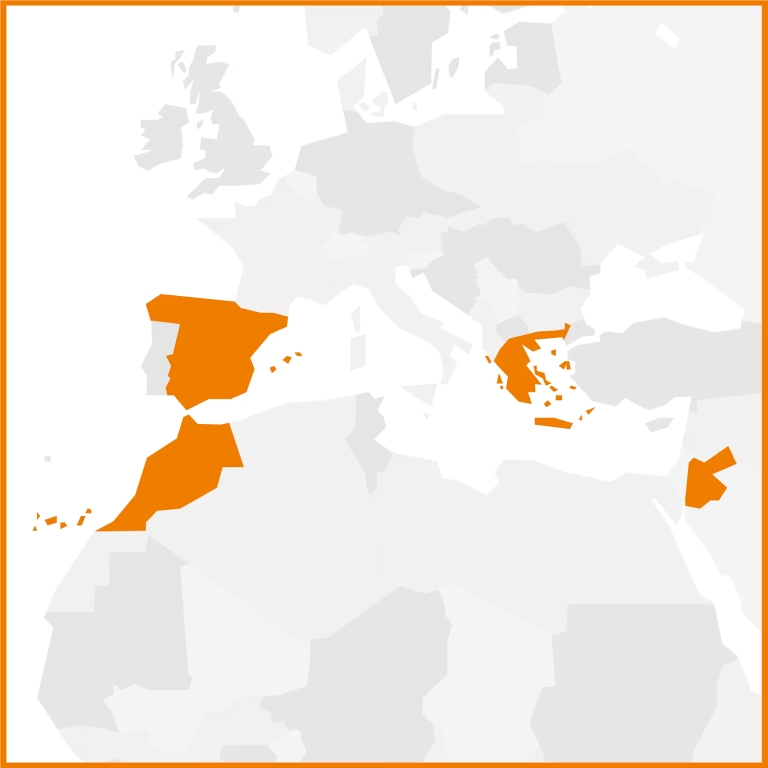
In this context, CIMA Research Foundation contributes to the project as the winner of the Innovation Prize Open Call, through the FSTP (Financial Support to Third Parties) mechanism, thanks to the implementation of FAIR – Forest Fire AI-based Risk Assessment. FAIR foresees the development and integration of an advanced risk assessment module based on the PROPAGATOR fire spread model, including the use of a high-resolution pan-European AI-based fuel map, the simulation of wildfire propagation, and the estimation of potential impacts on people, infrastructure, and ecosystems. CIMA integrates these components into the GoBeyond platforms and validates them through operational tests conducted at several European and Mediterranean pilot sites.