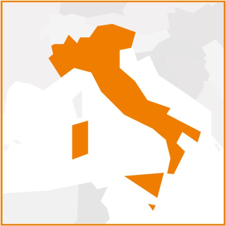
The Air and coupled ocean-wave Ligurian Integrated forecast System for Environmental cOastal prediction in support of the Cinque Terre National Park (ALISEO) project develops an integrated operational service for high-resolution atmospheric and oceanographic forecasting service along the Ligurian coast, with a special focus on the Cinque Terre National Park. Coordinated by CIMA Research Foundation in collaboration with NOW Systems, the project aims to implement a new coastal forecasting service using a chain composed of a high-resolution weather model and a coastal model. ALISEO also includes active involvement of local stakeholders and a dissemination plan for maximum utility of the developed services.
Goals and expected results
The goal of the project is to enhance the SEAWETRA platform through the integration of new data from the Copernicus Marine Service, improving monitoring and forecasting capabilities up to ten days for the Ligurian coastal area, with a focus on the Cinque Terre National Park. In addition, it seeks to develop an innovative high-resolution coastal forecasting system, based on coupled wave-current numerical models, with grid resolutions down to 70 meters, capable of simulating phenomena such as wave height, storm surges, and coastal flooding. The project thus aims to support various management activities – providing advanced decision-making tools to address extreme meteo-marine events – and to strengthen the connection between scientific research and local governance, in line with key European environmental directives. In fact, ALISEO envisages a strong engagement of local stakeholders in the co-design of services and a comprehensive dissemination plan, aimed at ensuring wide outreach, operational adoption of the developed solutions and promotion of results through both scientific and public communication channels.
CIMA Research Foundation’s contribution
CIMA Research Foundation is the consortium leader and responsible for the overall coordination of activities. It also performs several tasks within the project:
- It is the developer and operator of the SEAWETRA platform, already in use, which ALISEO plans to enhance through the integration of new modeling and observational data from the Copernicus Marine Service
- provides the high-resolution meteorological model used as forcing for the new coastal forecast system, ensuring continuity and quality in the modeling chain
- coordinates local stakeholder engagement activities, which include the co-design of specific decision-support tools, to ensure that the developed solutions address concrete needs of the territory
- is responsible for a significant part of dissemination activities, both to stakeholders – with communication and awareness initiatives – and in the scientific context
