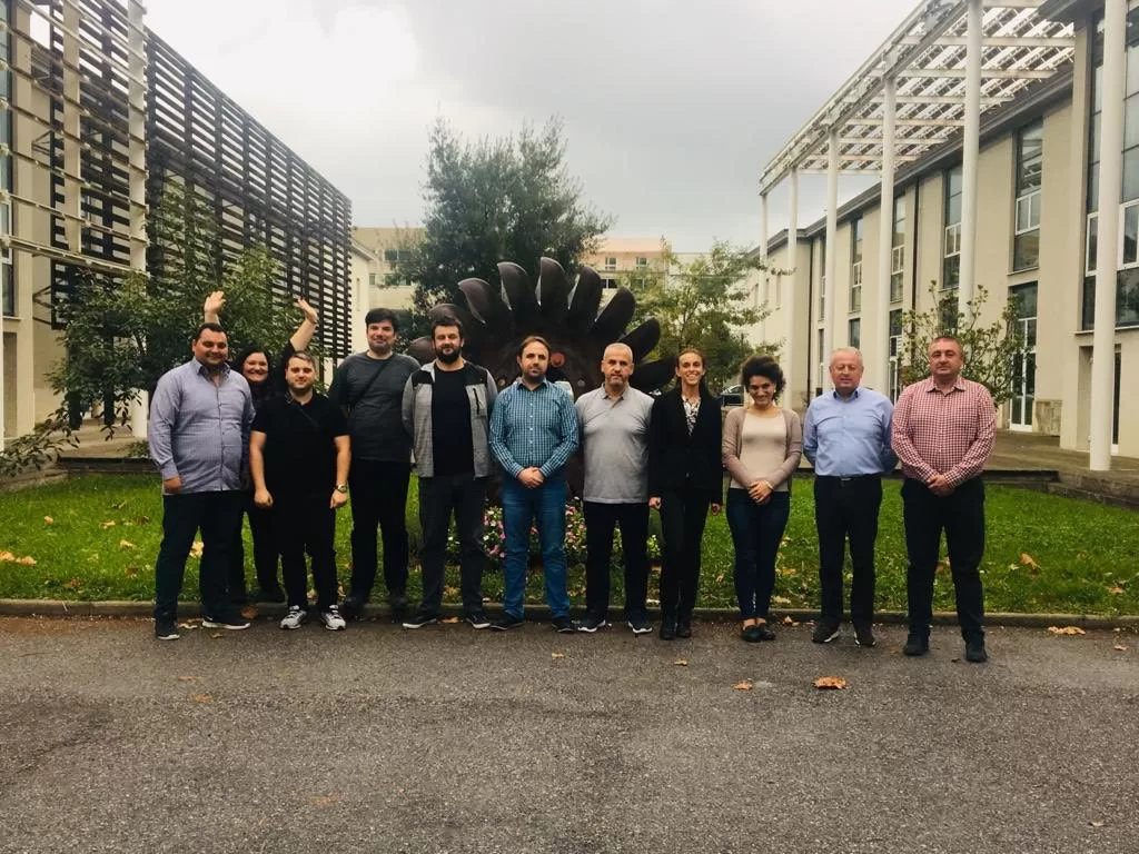
On Wednesday and Thursday, October 16th and 17th, the ERRADRAM training to Disaster Risk Managers and GIS Officers of the Republic of North Macedonia took place. The training was part of the IPA DRAM Programme for risk assessment and mapping in the Western Balkans and Turkey. Its goal was to train participants on the use of the Electronic Regional Risk Atlas (ERRA) DRAM, a tool that enables the gathering the geospatial data of the partner countries of the programme. This data can be used for the analysis of risk coming from natural events (especially floods, forest fires and earthquakes) in order to support the national civil protection strategies.
Through the knowledge of its experts in risk assessment and risk mapping, and their role as key experts in the programme, CIMA Research Foundation has formalized the concept of the platform and coordinated its implementation into the operative phase. The final scheduled activities are about the capillary usage of the platform for partner countries. For this activity, the technicians in geospatial data management and the disaster awareness managers must be trained.
The guests of the training came from the Crisis Management Centre and from the Protection and Rescue Directorate of the Republic of North Macedonia. Through live presentations, practical training and interactive working group sessions, our researchers have shared the functionality and the usage methods of the ERRADRAM platform with our Macedonian guests. Part of the training was dedicated to technical aspects about the access, the visualization and the management of the informative layers directly imported from the platforms already in use at a local scale (such as MKFFIS3), according to models specifically developed within IPA DRAM.
«For the Republic of North Macedonia, this specific training has been organized not simply to make the users more comfortable with the platform, but also to analyse and discuss ways data can be extracted from local systems and linked to the ERRADRAM platform», says Stefania Traverso who is responsible for the platform development, a key expert of IPA DRAM for the GIS component and a member of the Geospatial Data Management Department of CIMA Research Foundation.
«We strongly believe in the importance of sharing knowledge to build a more efficient civil protection system», says Traverso. «For this reason, time we spend working with international partners, like during these trainings, is fundamental to the development of technologies and skills».