In Italy, water is a resource that tells multiple stories at once: those of Alpine glaciers that store it in solid form, of rivers that traverse the territory, and of reservoirs that retain it to support cities, agriculture and energy production. But it also tells the story of an increasingly fragile balance. Water availability in our country is influenced by a combination of factors: climate variability, the increasing frequency of extreme events, and growing pressure on water uses. Understanding how water is distributed and evolves across the territory is therefore essential to ensure water security, planning, and crisis response capacity.
In this context, the Blue Book 2026 – Data on the Integrated Water Service in Italy, developed by Utilitalia and Fondazione Utilitatis, provides an updated snapshot of the national water sector and was presented today for the first time at the Chamber of Deputies. Among the scientific contributions included in the volume is that of CIMA Research Foundation, which, together with the Italian Civil Protection Department (DPC), has worked on the development and application of satellite-based methodologies for monitoring surface water resources.
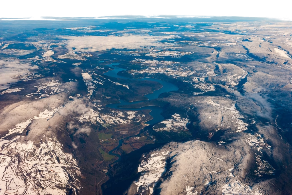
Satellites and reservoirs: observing water from above
Monitoring reservoirs is a strategic element for understanding the status of water reserves within a territory. Alongside traditional in situ measurement networks, satellite observations have increasingly gained relevance in recent years, enabling the analysis of surface water dynamics over large areas with temporal continuity.
The work developed by the Italian Civil Protection Department in collaboration with CIMA Research Foundation, its Competence Centre, focuses precisely on this objective: using satellite data to observe, in near real-time (NRT), the variation in the surface extent of Italian reservoirs and to contribute to the assessment of water availability at the national scale.
“Earth Observation allows us to transform satellite imagery into indicators that are useful for water resource management,” explains Luca Cenci, researcher at CIMA Research Foundation. “By analysing the spatio-temporal variations of reservoir surface area, we can monitor the dynamics of water storage and support the management of potential water crises.”
The satellite technologies employed are based on the use of different types of sensors (e.g., optical and radar/microwave), each characterised by specific physical properties and observation capabilities, enabling data acquisition under varying atmospheric and environmental conditions (e.g., clear/cloudy skies, day/night, varying topographic complexity). This synergy allows for an increased data availability, supporting the development of operational monitoring services.
“Each type of sensor provides complementary information,” notes Luca Pulvirenti, expert at the Foundation. “By combining data from different satellite missions, we can obtain a more robust and continuous picture of the evolution of water resources.”
Satellite monitoring as a civil protection tool
Within the Italian risk management system, water deficit is recognised by the Civil Protection Code as a condition that may require forecasting, prevention, mitigation, and emergency management activities. In this context, the capability to observe, in near real-time, the evolution of water resources becomes a key element in supporting operational decision-making.
The satellite monitoring developed within the collaboration between DPC and CIMA therefore represents a supporting tool for institutional activities, complementing information from ground-based observation networks and expanding the spatial coverage of analyses.
“The integration of satellite data with information collected on the ground improves awareness of the state of water resources,” emphasises Giuseppe Squicciarino, researcher at CIMA. “Having tools that allow us to observe the evolution of reservoir storage capacity at the national scale is crucial to strengthening monitoring activities in support of decision-makers. In particular, when these data are compared with past filling conditions, they can help anticipate situations with potentially critical impacts.”
In a climate context characterised by increasing uncertainty and more frequent extreme hydrological events, observing from space becomes a valuable tool for detecting early signals from the territory. Because today more than ever, understanding the state and evolution of surface water resources also means strengthening our capacity to protect communities, ecosystems, and productive systems.