The fires that have affected the two regions in July 2021 have been monitored, at the request of the Department of Civil Protection, by researchers of CIMA Research Foundation, both through the analysis of satellite images and, with the coordination of the Forestry and Environmental Surveillance Corps of Sardinia, through the use of drones.
CIMA Research Foundation has been activated by the Italian Department of Civil Protection for the mapping of the areas affected by fire following the forest fires occurred in the regions of Sardinia (from 24 to 27 July 2021) and Sicily (in the following weekend, between 31 July and 1 August). In the first case, were affected areas in the province of Oristano; in the second case a portion of territory belonging to the municipality of Catania. Favored by the strong wind and by the persistent absence of precipitation, as well as by the high temperatures, in a short time the fires have assumed significant dimensions, in the order of thousands of hectares (Figure 1 shows the area of interest of the province of Oristano). In Sardinia, the event did not only affect vegetated areas but unfortunately affected and destroyed livestock farms and farms and arrived close to urban centers; several thousands of people were therefore evacuated from their homes.

In the Catania area (Figure 2), the fire destroyed areas such as the Simeto natural oasis. It should be noted that, beyond the area of Catania, on a regional scale there has been a multiplicity of events that have generated impacts on a large area.

The study of the events was carried out using optical satellite data from the Sentinel-2 constellation of the European Space Agency (ESA). Developed as part of the Copernicus mission, it consists of two satellites (Sentinel 2A and Sentinel 2B) identical and equipped with multispectral sensors (MSI) capable of acquiring 13 bands. In particular, L2A level products and data acquired in the near-infrared (NIR) band and the two shortwaves infrared (SWIR) bands were used.
Considering Sentinel-2 is an optical sensor, the coverage of the single areas of interest was strongly conditioned by the presence of clouds; for this reason, for the event in the Oristano province, it was necessary to exploit several passes, over a period of about five days from activation, on several orbits, in order to perimeter all the areas covered by fire indicated by the Italian Department of Civil Protection. For the evaluation of the areas covered by fire on the entire Sicilian territory were used 7 tiles acquired on orbit 79 on July 31. In two of these tiles fell the main event that affected the area of Catania.
All Sentinel-2 images used have been automatically downloaded using the data acquisition chains developed by CIMA Research Foundation under WP6 of the agreement with Department of Civil Protection. The scenes were used as input for the processor, developed by CIMA Research Foundation researchers, called AUTOBAM (AUTOmatic Burned Areas Mapper), published here (and further refined here). AUTOBAM uses as input spectral indices derived from combinations of data acquired in the SWIR and NIR. The AUTOBAM-generated maps of fire-tracked areas were then supervised by Foundation researchers. The final products were released within 24 hours of the Sentinel-2 acquisition (note how Sentinel-2 data are made available to catalog 6-8 hours after acquisition.).
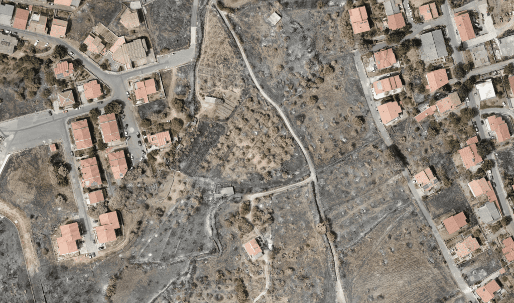
The maps of areas affected by fire, with a resolution of 20 meters, were released in raster format (geotiff) and then vectorized (shapefile) in order to allow the end user an immediate identification of the vulnerable areas using the most common GIS tools. Finally, a printable product has been generated for each of the elaborated maps, in a variable scale between 1:50000 and 1:500000, in pdf format. Below are two screenshots of the pdf maps, in which the areas affected by fire are highlighted in red.


CIMA Research Foundation has also taken part, starting from the day of July 25, 2021, to the monitoring activities related to the devastating fires that have affected the province of Oristano.
The intervention, carried out in close contact and under the coordination of the Forestry and Environmental Surveillance Corps of Sardinia, also included the collaboration with the staff of the Nucleus Sistemi Aeromobili Pilotaggio Remoto (SAPR, the unmanned aerial vehicle nucleus) of the Vigili del Fuoco, the Italian fire and rescue service.
The operations, conducted in the days of 29-31 July, by two technicians and pilots of the SAPR of CIMA Research Foundation, included the high-resolution mapping of the damage to the agro-forestry heritage of 138 hectares in the municipality of Scano di Moniferru and 122 hectares in the municipality of Cuglieri, as well as some aerial shots on the southern side of the mountains, in the municipality of Santu Lussurgiu.
The persistence of still active flame fronts and the necessity to intervene on the shooting of the fire in some particularly problematic areas, by means of aerial means (helicopters and canadair) has limited in part the activity of detailed mapping. For this reason, the technicians and pilots of the Foundation were able to provide support to the firefighters also participating in the support activities for the assessment of damage to buildings in rural areas on about 6 km2, a survey for which the use of drones was made considering the extension of the phenomenon and the territorial dispersion of the buildings.
At the end of the emergency phase we will proceed with further activities that, integrating monitoring methods and modeling, will be functional to the knowledge of the future evolutionary scenarios of the areas affected by the event.


The monitoring activities are also functional to MED-STAR project (of which both CIMA Research Foundation and Sardinia Region are partners), funded under the Interreg Italy-France Maritime Program 2014-2020, which aims to improve the capacity of public institutions to manage and prevent the increasing risk of fires.