Prolonged droughts, increasingly intense heatwaves, and short, violent precipitation events. In a rapidly changing climate, the availability of water resources is becoming increasingly unstable, difficult to predict, and complex to manage. Not only the volume of available water is changing, but also the spatial and temporal dynamics through which this resource is distributed across the territory. In such a context, artificial reservoirs and natural lakes become crucial indicators of ongoing water crises, and at the same time, strategic elements for planning effective responses.
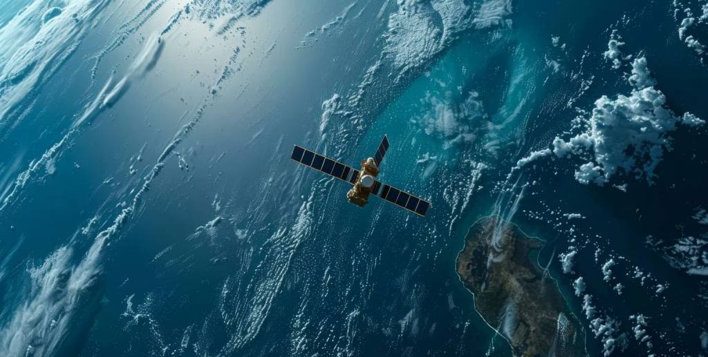
Satellite observation offers a valuable opportunity: mapping the extent of water bodies with continuity, accuracy, and timeliness. If developed as an operational service, this tool could be a turning point for water resource management, agricultural planning, and emergency response. With this goal in mind, the Earth Observation Department of CIMA Research Foundation is developing an automated and integrated service for monitoring the extent of surface water bodies in Italy via satellite, operating year-round and updated every five days (weather permitting).
An automated and continuous service: from optical to radar data
The current system architecture is based on optical data from Sentinel-2, part of the Copernicus Programme, which provides high spatial resolution imagery (10 m) and a five-day revisit frequency. The system is designed to operate in a fully automatic mode, generating updated maps of water body extent aligned with the needs of Civil Protection authorities, regional governments, and water managers. In the long term, the goal is to cover all water bodies larger than 4 hectares at the national level.
A description of the service can be found in the following paper: L. Cenci, G. Squicciarino, L. Pulvirenti, S. Puca and A. Duro, “Validation of a Prototype Monitoring System of Water Bodies Extent for Civil Protection Applications,” IGARSS 2024 – 2024 IEEE International Geoscience and Remote Sensing Symposium, Athens, Greece, 2024, pp. 3765-3769, 10.1109/IGARSS53475.2024.10641198.
“Our goal is to create a tool that is truly operational, not just experimental,” explains Luca Pulvirenti, head of the Earth Observation Unit at CIMA Research Foundation. “This means ensuring continuity, quality, and accessibility of data, so that the information produced can be immediately useful in decision-making processes.”
The real strength of the service lies in its evolution: the integration of Synthetic Aperture Radar (SAR) data, particularly from Sentinel-1 and the COSMO-SkyMed (CSK) constellation. These allow for overcoming the limitations of optical sensors in cloudy conditions. COSMO-SkyMed-derived maps reach even higher spatial resolutions (around 5 m), enabling accurate monitoring of even small lakes.
Validation, sensor comparison, and scientific robustness: first results
The reliability of the system has been tested across pilot basins in Sardinia, Sicily, and Basilicata. In Sardinia, over fifteen reservoirs of different sizes and morphologies were monitored, including Gusana, Monte Lerno, Sos Canales, Maccheronis, Olai, Bau Muggeris, Cedrino, Monte Arbus, Punta Gennarta, among others. Maps derived from Sentinel-2 were compared with official volumetric data, showing high consistency and confirming the method’s reliability.
In Sicily, the system was applied to Lake Fanaco, which supplies several municipalities in central Sicily, including Canicattì, Mussomeli, Sutera, Cammarata, and Delia. The analysis was conducted over a long time series: 165 COSMO-SkyMed images acquired between March 2010 and September 2024, averaging one per month. This enabled a detailed analysis of seasonal and interannual variations, with anomalies assessed using a rolling methodology that compares each month with the same month in previous years (excluding the current one).
In Basilicata, Lake San Giuliano was validated using both daily and monthly data from July 2019 to June 2023. This site hosted the first systematic comparison experiment between Sentinel-1 (radar) and Sentinel-2 (optical) data. The two time series showed excellent agreement, confirming the validity of the integrated approach.
“Combining optical and radar data allows us to overcome the limitations of each sensor,” notes Pulvirenti. “Optical sensors are affected by cloud cover, while radar may be influenced by wind on the water surface and speckle noise. But together, they complement each other, improving the system’s overall robustness.”
The radar method is based on techniques adapted from flood mapping, adjusted to the context of water resource monitoring.
Summer 2024: water stress and real-world testing
The system was tested under a recent real-world scenario: summer 2024. In many parts of southern Italy, the warm months were marked by severe anomalies in reservoir levels, directly affecting water supply and agricultural use. In Sicily, for instance, attention was focused on reservoirs feeding Palermo’s water network, while in Basilicata, data from Lake San Giuliano provided an updated and detailed picture of evolving hydrological conditions.
“Monitoring rapid dynamics is essential to act quickly,” emphasizes Pulvirenti. “With updates every five days and high spatial resolution, we can detect early signs of critical conditions and provide concrete support to operational management.”
From research to operational support
The experience gained by CIMA Research Foundation demonstrates how scientific research can be transformed into an actionable service that supports water management and risk prevention in a changing climate. Satellite technologies are no longer tools reserved for specialists; they become allies for institutions and local communities, delivering timely, in-depth, and scalable knowledge.
These results and future prospects were presented by Luca Pulvirenti at the workshop organized by the Italian Space Agency, “Satellite technologies and multi-risk analysis: experiences from I4DP_SCIENCE projects and future perspectives”, held in Rome and dedicated to the role of satellite observation in integrated risk management.
A complementary approach: continuous flood monitoring
In parallel with the work on water body monitoring, CIMA Research Foundation has recently developed a methodology for near real-time flood monitoring using on-demand SAR data, acquired with varying geometries.
At the heart of this methodology is an automatic algorithm, AUTOWADE2.0, designed to process SAR images captured with different orbital parameters. It combines several approaches, including unsupervised classification techniques (e.g. Isodata), electromagnetic backscattering models (Small Perturbation Method, Oh), automatic thresholding (Otsu), and spatial-contextual segmentation methods (region growing), to identify water surfaces even under complex conditions.
The system was validated during the floods that struck Emilia-Romagna (May 2023) and Tuscany (November 2023), demonstrating reliable performance even in operationally challenging contexts. This approach serves as a crucial complement to the water body mapping service, strengthening monitoring and response capacity during sudden hydrological emergencies.
The results of this activity were recently published in the article: “Continuous flood monitoring using on-demand SAR data acquired with different geometries“, ISPRS Journal of Photogrammetry and Remote Sensing, 2025, https://doi.org/10.1016/j.isprsjprs.2025.04.036).
Latest Developments at ESA Living Planet Symposium 2025
The latest advancements of the initiatives described above will be presented at the ESA Living Planet Symposium 2025, to be held in Vienna (Austria) from 23 to 27 June 2025. On that occasion, results from the following studies will be shared with the scientific community:
- Presenting of an EO-based Service for Hydrological Drought Monitoring, a collaboration between CIMA Research Foundation, the Italian Civil Protection Department, and the Autonomous Region of Sardinia.
- A method for continuous satellite-based flood mapping using on-demand SAR data, based on the ISPRS article and developed in collaboration with the Italian Civil Protection Department and e-GEOS.
Additional contributions from the Earth Observation Unit will also be presented, focusing on monitoring natural phenomena related to the impacts of climate change:
- Satellite-Based Combined Analysis of Water Bodies and Vegetation Dynamics Under Dry Conditions, a collaboration between CIMA Research Foundation and Sapienza University of Rome.
- Characterizing spatially explicit urban heat risk from Earth Observation data to drive urban renovations, developed in collaboration with the University of Genoa.